Collins Handy Road Atlas Ireland: Handy Map of Ireland Using Clear and Detailed Mapping

Деталі
Ціни

Відгуки
Collins Handy Road Atlas Ireland: Handy Map of Ireland Using Clear and Detailed Mapping
Ще ніхто не оцінив.
Про книжку
Discover new places with handy road atlases from Collins.
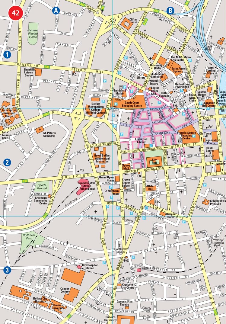
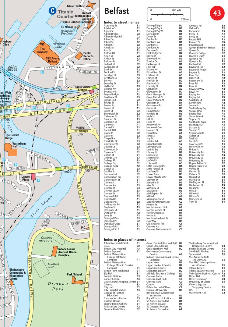
Explore Ireland with this handy format route-planning atlas in full colour, complete with information on places of tourist interest including famous film locations. There are also fully indexed town centre plans of Belfast, Cork, Dublin, Galway, Limerick and Derry/Londonderry.
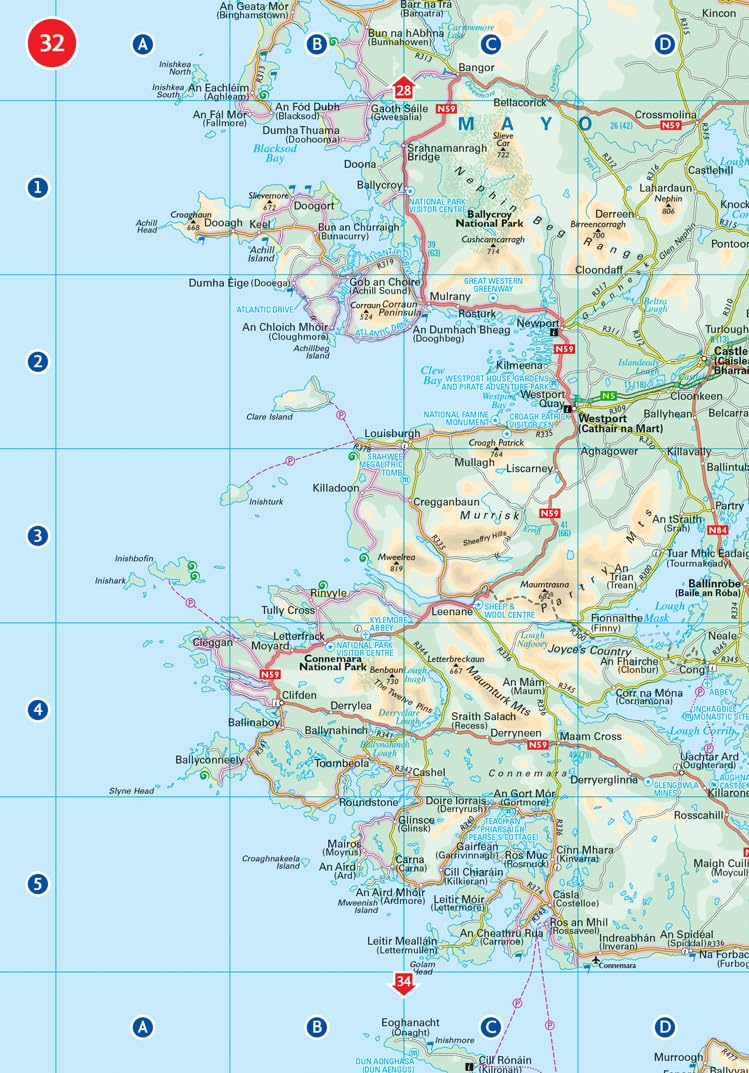
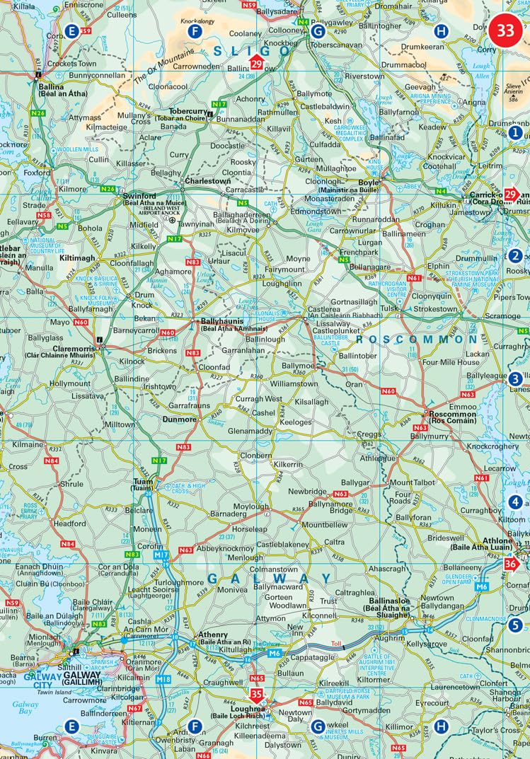
This atlas, at A5 size, contains mapping of the whole of Ireland at 9 miles to 1 inch (1:570,240). The mapping is beautifully designed with colour classified roads and subtle layered height tinting.
The atlas is ideal for residents, visitors and tourists alike.
Key features of the atlas include:
• All Ireland route planning maps
• Town centre plans
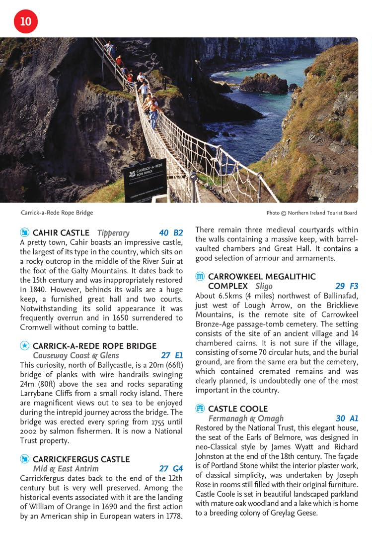
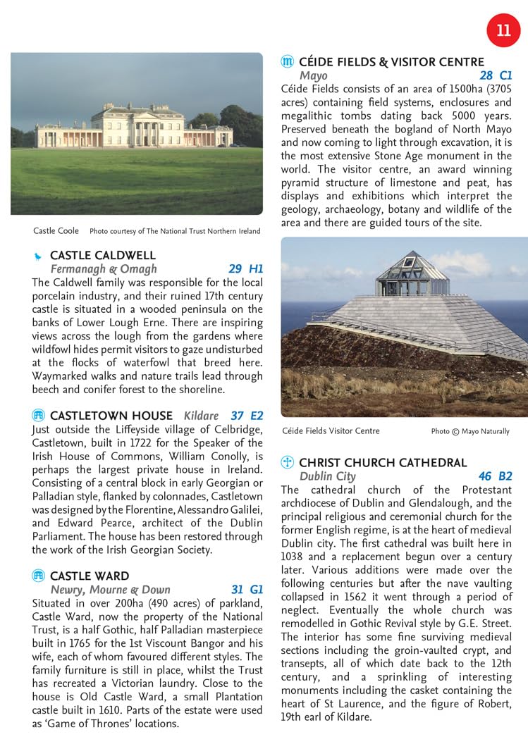
• Places of interest including TV and film locations from productions such as Game of Thrones, Star Wars and Harry Potter
• Blue Flag and Green Coast beaches map
• List of tourist information centres
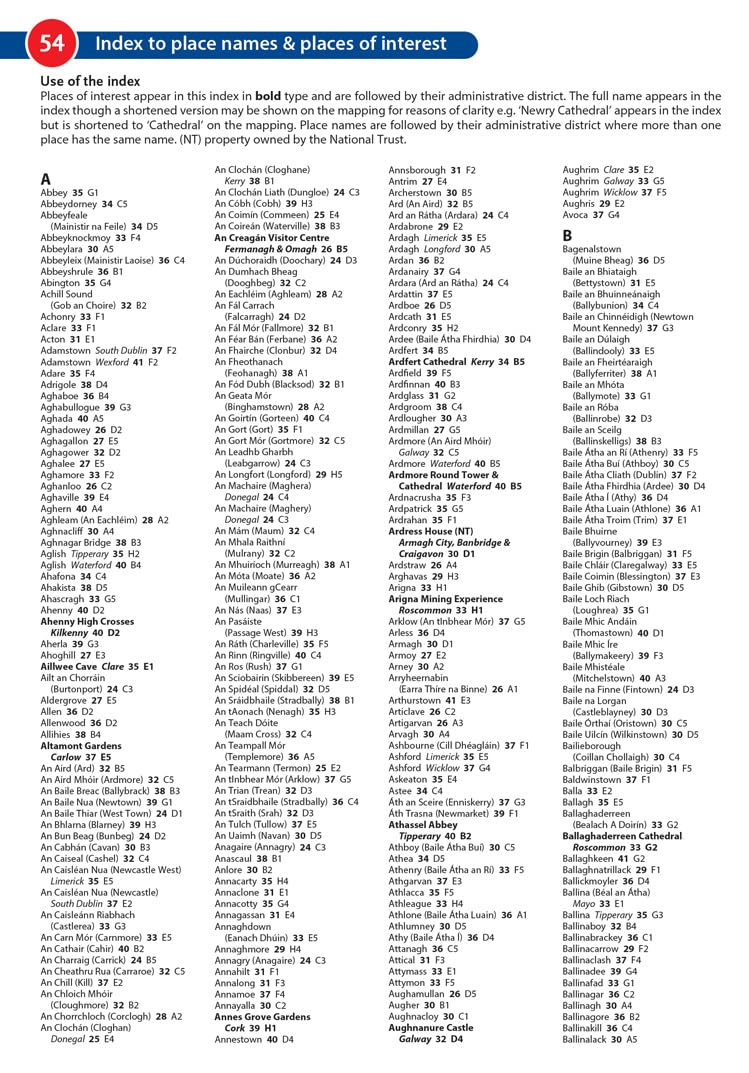
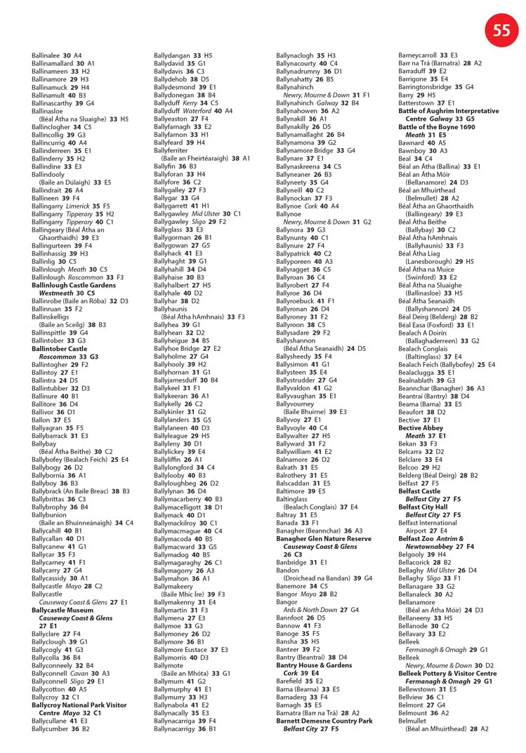
• Full index to place names and places of interest
• Information on airports, ferries and radio stations
• Mileage chart
Деталі
- Видання
- HarperCollins Publishers, 2025, паперова
- Видавництво
- HarperCollins Publishers
- Сторінок
- 64
- Мова
- Англійська
- ISBN
- 9780008716523
Відгуки
Відгуків ще немає.
Ціни 1 пропозиція
Деякі посилання на магазини — партнерські, ми можемо отримати невеликий відсоток від магазину, але це не впливає на порядок пропозицій на сайті.